Course description

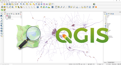
Welcome to Zero to Hero: An Introduction to QGIS—a comprehensive, hands-on course designed to turn complete beginners into confident GIS users using QGIS, the world’s leading free and open-source Geographic Information System.

Whether you're a student, researcher, urban planner, environmental analyst, or just curious about geospatial data, this course is tailored to guide you step-by-step through the QGIS interface, data loading and formatting, symbology, coordinate reference systems, digitizing, geoprocessing, and map creation. You’ll also gain practical skills in spatial data analysis, attribute table manipulation, and working with shapefiles, rasters, and online datasets.

By the end of the course, you’ll not only understand the core functions of QGIS but also be able to apply GIS techniques confidently in real-world scenarios—be it for environmental studies, urban planning, health mapping, or academic research.

No prior GIS knowledge is required—just a curiosity to explore the power of spatial thinking!

What will i learn?

Requirements

Ben Emunah Aikins

Ben is a versatile GIS and Data Science professional with a strong track record in geospatial solutions development, health and disease modeling, and urban planning. With extensive experience leading GIS-based projects in public health, energy utilities, and environmental monitoring, Prime has worked with institutions such as the Ghana Health Service, EDSA (Sierra Leone), and academic research teams. His work includes developing advanced GIS systems, teaching R and QGIS for epidemiological modeling, and integrating spatial data into decision-making platforms. As the founder of Precision GIS and Technology Consultancy Ltd, he also delivers tailored GIS and IT solutions, trainings, and consultancy services across Africa.

$70

Lectures

35

Skill level

Beginner

Expiry period

Lifetime

Certificate

Yes

Share this course

Related courses